Hopefully this will help. There will not be a map given out at the meeting so if you need one please print one out.
The windward mark will be at the top (north end) of the lake. There is a small island to your right as the lake opens up into the upper bay called MAGS LEDGE. There is a green flag there. Round it clockwise, leaving island and flag to starboard. Once you round it beware two ice house melt pools, now frozen. They will be marked.
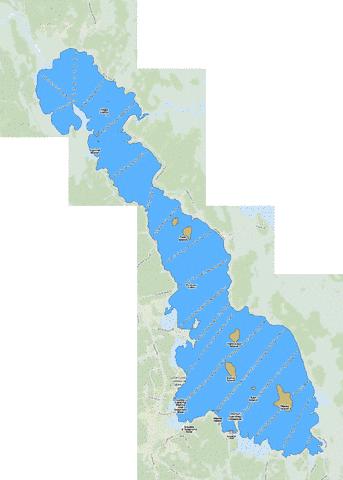
The leeward mark will be Moose Island, the big island at the bottom of the lake. There is an open lead on the south side. Two green flags are set outside the lead. Round the flags and the island clockwise. You can sail either side of Dollar and Hardwood, the islands just north of Moose but it’s suggested you sail the downwind leg on their east side and upwind on the west side. It will help separate traffic.
This course is 12 miles around. Do eight laps.
The lake as scouted today revealed no pressure ridges, no open cracks and no drain holes. There are some shallow healed cracks, and small open leads at some points but nothing major.

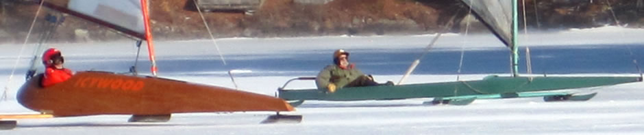
Totally cool, thanks for scouting & posting. Who was out there scouting?